Now design on the
realistic 3D model of the ceiling
New 3D Photogrammetry Module with Drones.
Fly over the roof, process the survey data, and design on top of it—all without leaving Sunwise.
+1,000
points per square meter
<1%
shadow error
5h→1h
by project
+20%
closing rate
From Flight to Proposal in Four Steps
No external software. No manual exports. Everything is handled within the Sunwise Estimator.
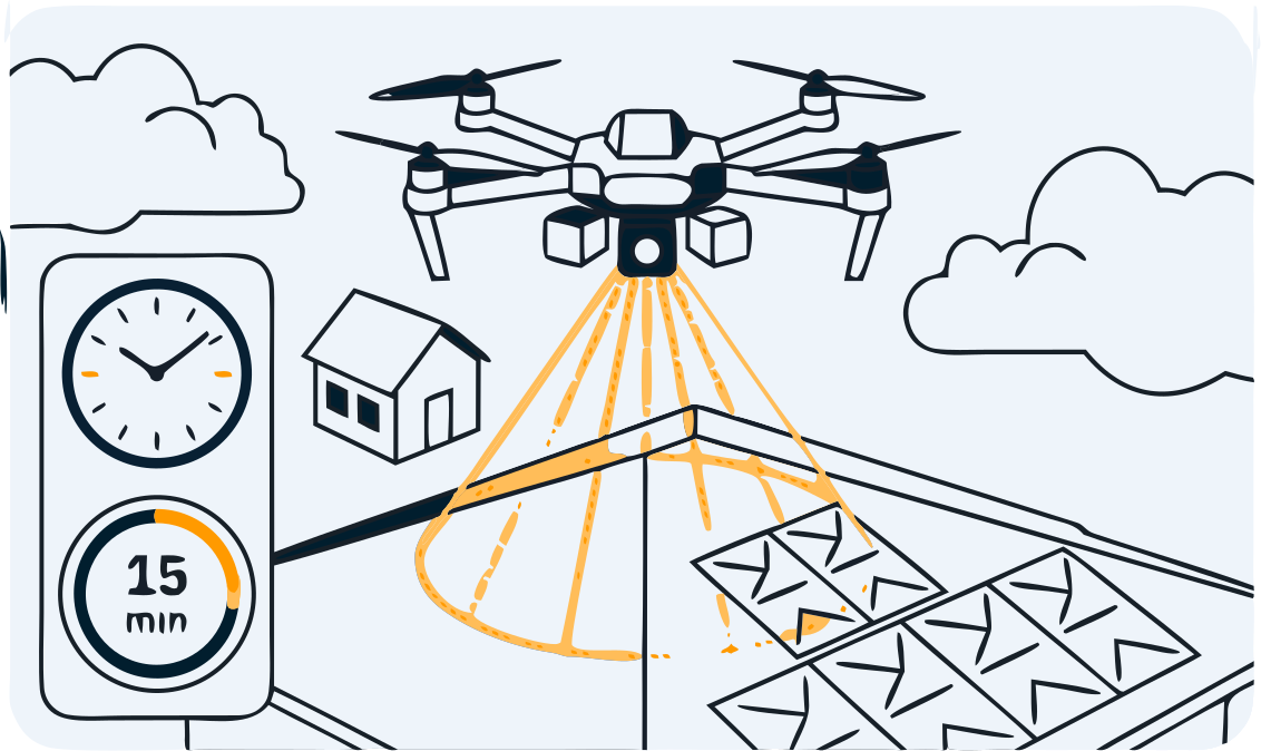
Fly the drone
15–20 minutes on site. Any drone with a 12+ MP camera.
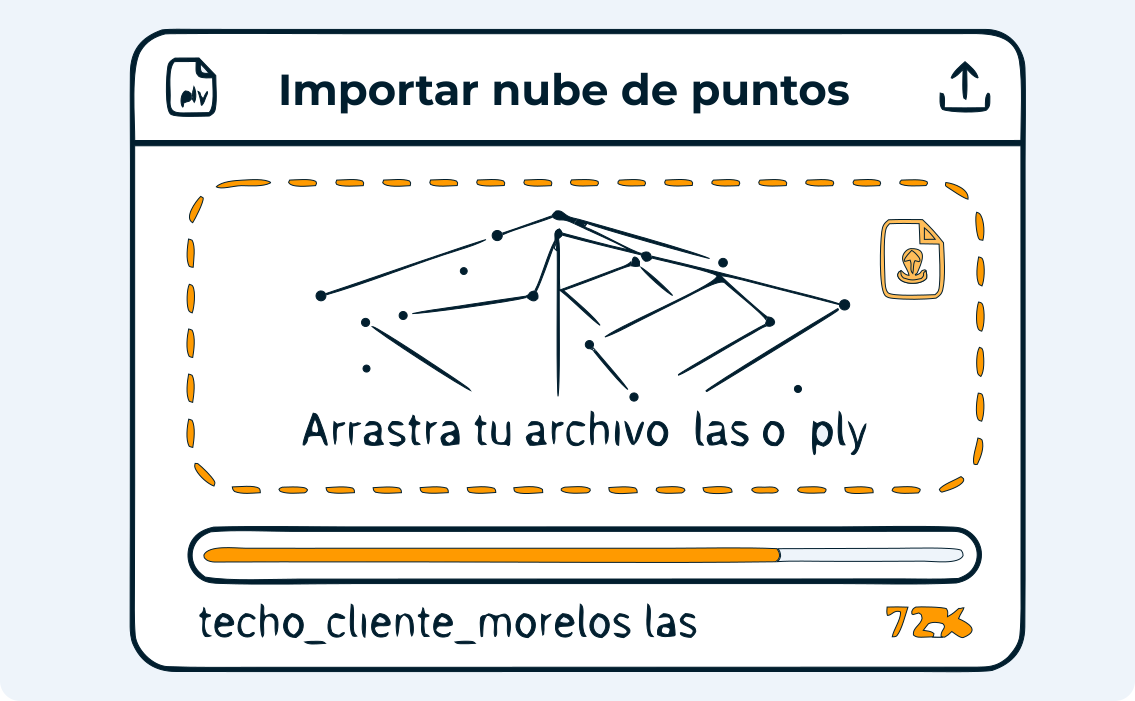
Upload the point cloud
Process the photos and upload them directly to the Sunwise cloud.
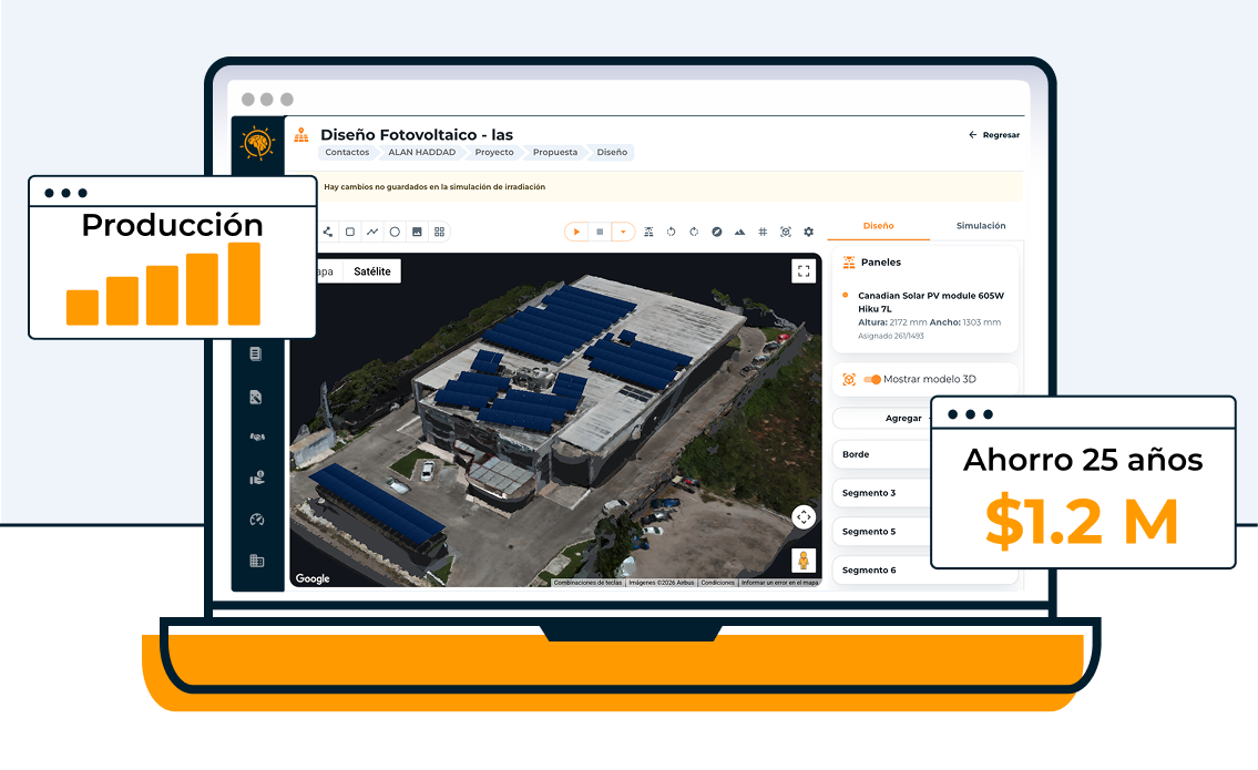
Design in 3D
Place modules, analyze shadows, and validate irradiance.
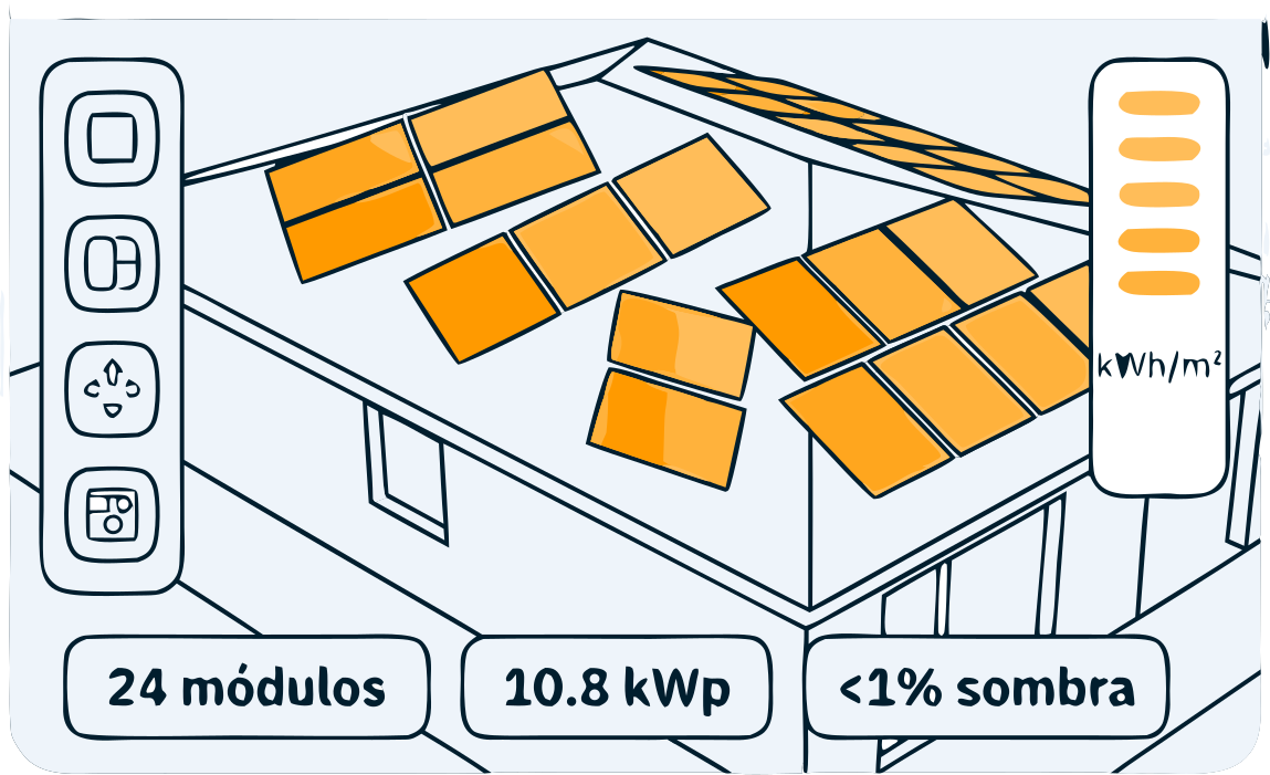
Opens and closes
Your client sees a realistic 3D model of their ceiling. +20% closing rate.
COMPARISON Manualvs. Satellite vs. Drone
Not all measurements are the same. Drone-based photogrammetry provides a level of detail that is impossible to achieve with other methods.
'S BUSINESS CASE Theinvestment pays for itself
A drone costs ~$20,000 MXN. It pays for itself in ~10 visits. After that, it's all savings.